The Two “Sanri Matsubara” and a Clock That Tells You About the Sunset
Shortly we'll be in the Tsuyu (rainy season).
Now, the time moving around.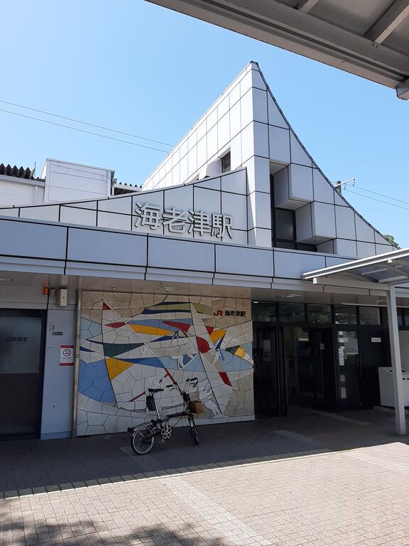
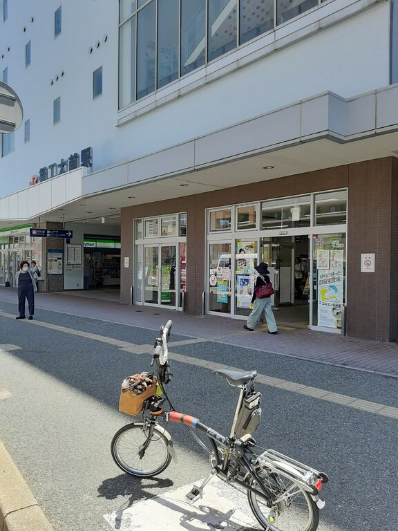
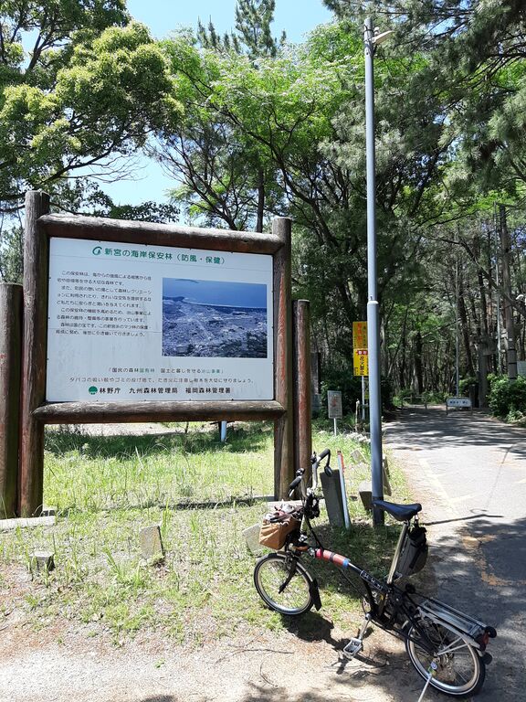
Carrying Brompton on JR train.
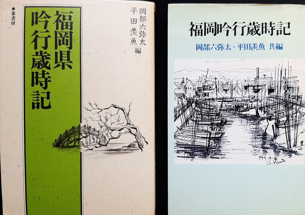
Not long after I moved here from Kansai, I stumbled across an old book in a used bookstore.
Later, I found a revised edition in another secondhand shop—lucky finds both times.
The book blends local geography and history with the unique sensibilities of haiku poets.
For someone like me who didn’t know the area well, it was a real treasure.
One section introduced “Sanri Matsubara (12km long pine forest).”
Naturally, I assumed it meant the famous stretch of pine trees running from Okagaki Town (my place) to Ashiya Town, where you can enjoy a beautiful seaside ride through white sand and pine groves.
But no—this book was referring to Shingū Matsubara as Sanri Matsubara.
Ever since, that name stuck in my head and wouldn’t let go.
The nearest station to Shingū Matsubara is Shingū-Chūō Station.
These days, even local stations like Ebitsu get all trains stopping there.
Plus, Shingū’s got IKEA and CAINZ—it’s super popular with the younger crowd.
So of course, I figured the express train would stop at Shingū-Chūō Station.
Well...
A bunch of passengers got off at the station before mine.
The conductor made an announcement, but it was hard to catch.
I got ready to get off at Shingū-Chūō—and then... the train didn’t stop. Just sailed right past it!
Yes! Go Ebitsu Station! (No wait, this is bad—I missed my stop.)
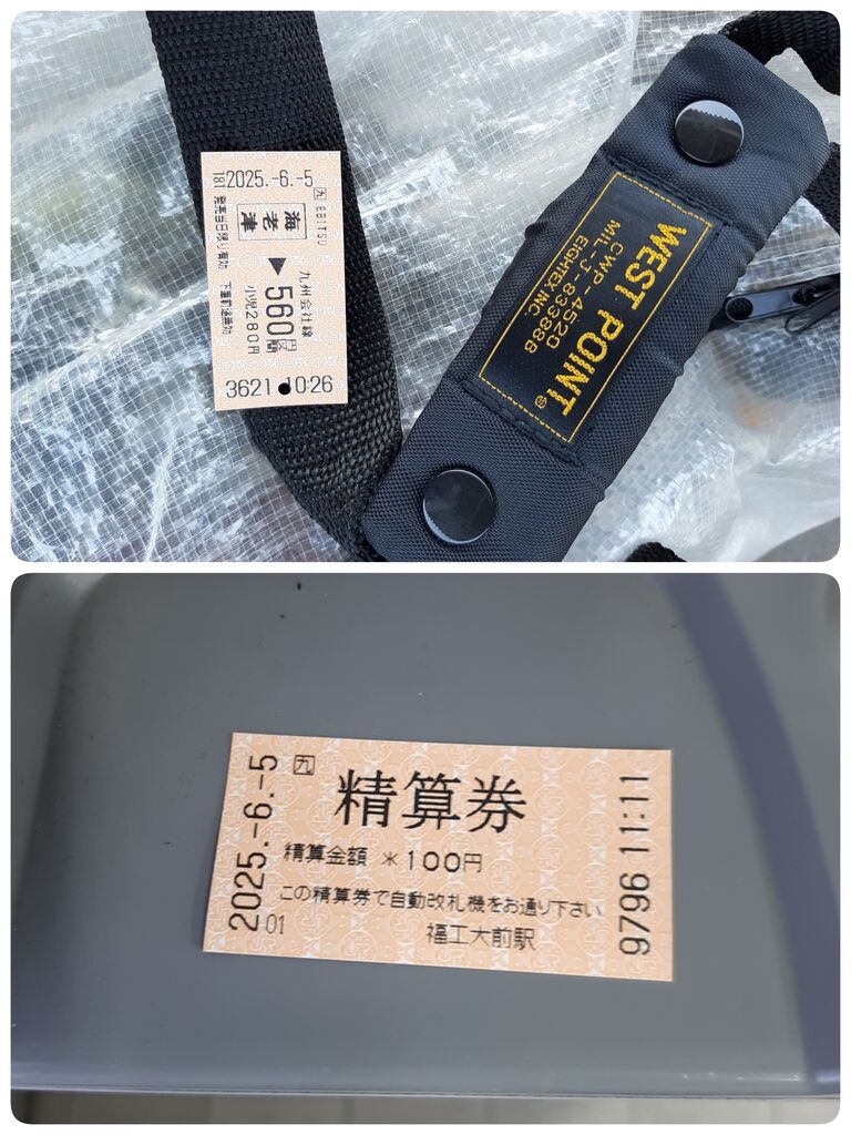
I got off at the next one, Fukkōdaimae (Fukuoka Industrial College) Station, and debated whether to wait 15+ minutes for a train back... or just start my ride from there.
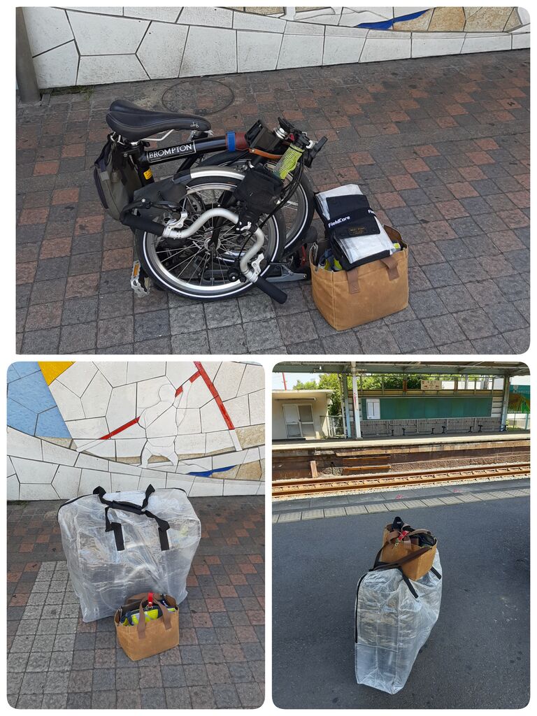
In the end, I decided to pay the extra fare and kick off my ride then and there.
Even if it’s just a few minutes by train, switching to bike mode takes some mental prep.
I found a shady spot and started unfolding my trusty steed.
That’s when a gentleman on a sleek TERN Verge bike struck up a conversation.
He’d just come back from riding around Shikanoshima and showed me tons of pics on his phone.
As we parted ways, he handed me an anpan (sweet bean paste filled bread) he’d bought from a local bakery.
I ate it by the beach, taking breaks along the windy path—and wow, the red bean paste was incredible. I’ve never had anything quite like it. (Thank you!)
***
Imagine just when I got caught in a passing shower.
At first, I tried to stay dry, but once I'm soaked, it’s like—whatever, bring it on!
With that “I’m already wet” attitude, I decided to relax.
Probably won’t ever cycle this far again, I figured—might as well enjoy it.
I avoided the usual car routes and took a scenic detour through Wajiro, eventually aiming for the ferry terminal to Ainoshima, the planned starting point for my Sanri Matsubara exploration.
Past the gentle, seemingly endless slope of a suburban development, I hit the main road to Shikanoshima—a familiar one from past rides.
Headed north down the hill, I found myself on the route toward the ferry.
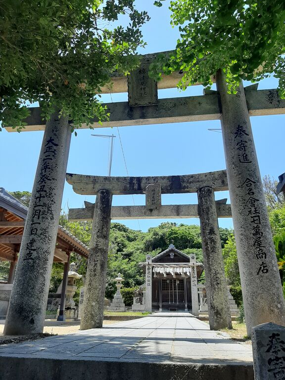
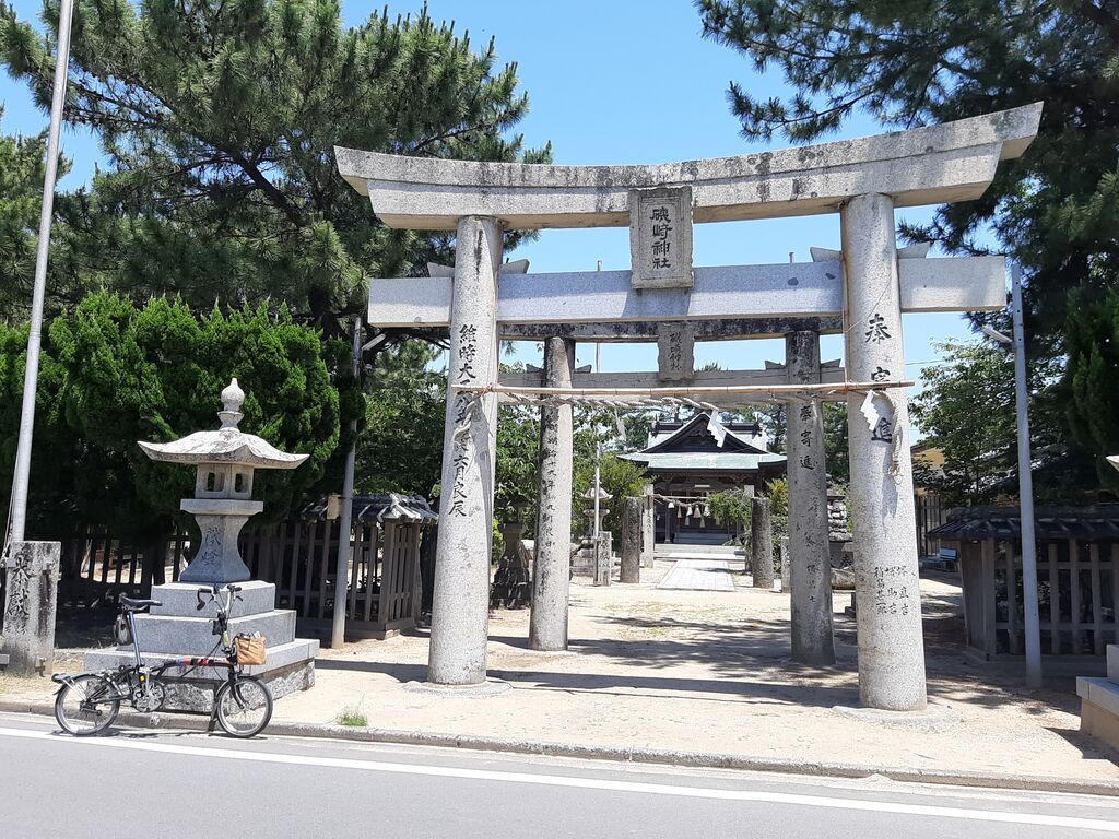
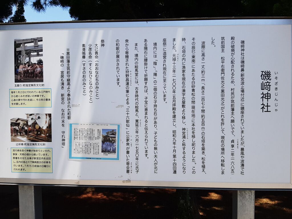
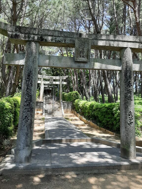
First, I stopped to pay respects at the local shrine.
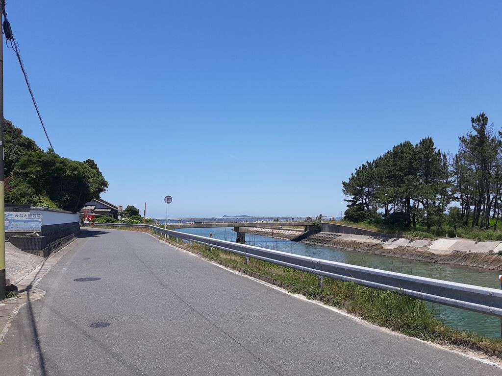
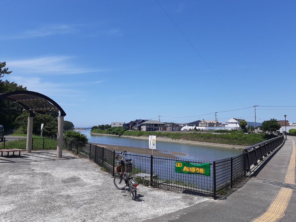
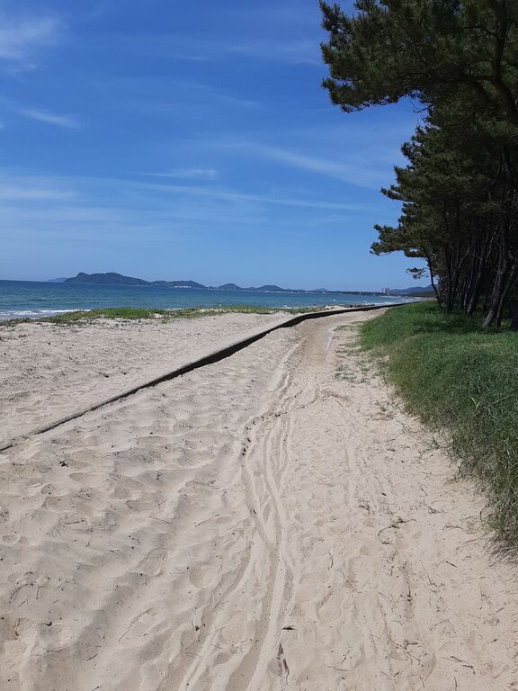
The bridge over there—that’s the official start of this Sanri Matsubara pottering ride.
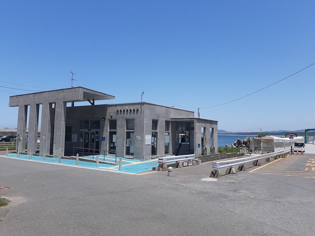
Picked up a local info pamphlet at the ferry terminal.
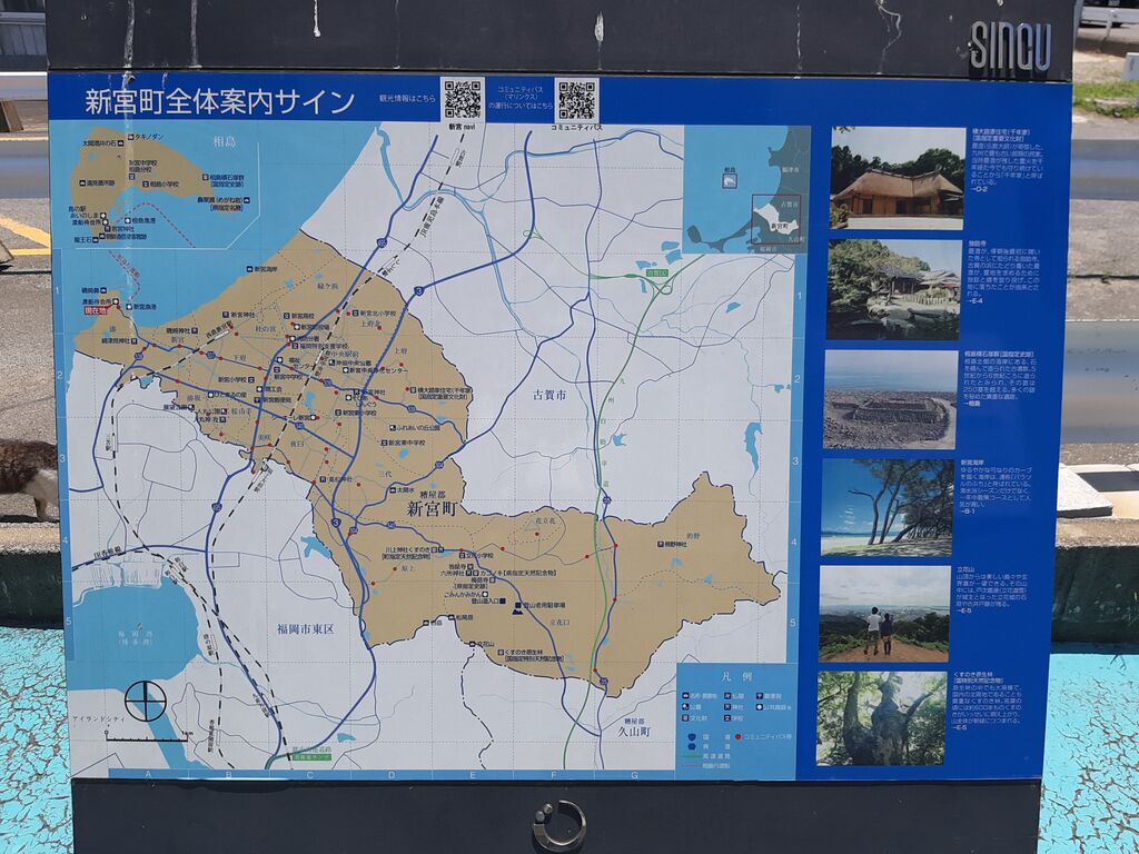
Then, I started pedaling along the coast, past the colored areas on the map and into the blank northern stretch.
The final destination, my place, was somewhere way beyond those hazy mountain ridges.
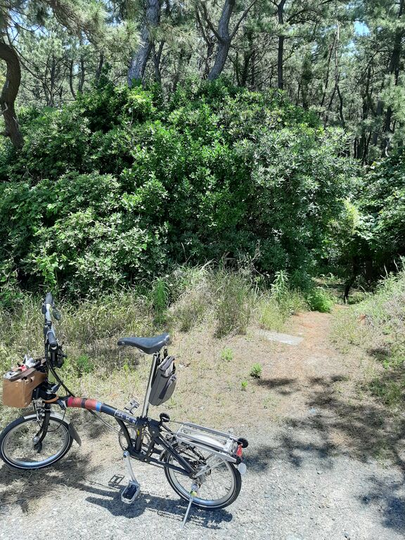
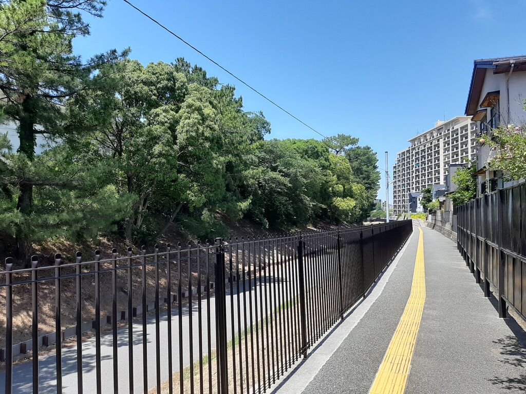
It was technically a road, sure, but definitely not built with bikes in mind.
Still—I set off!
The start was easy—smooth sailing.
But then—uh oh.
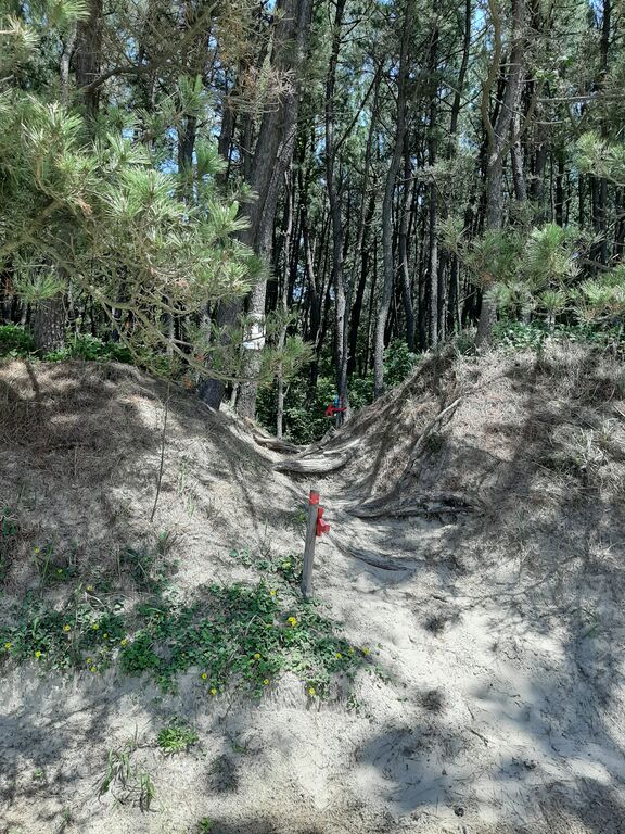
Dead end.
I noticed a sign earlier... blue and red, like the ones I’ve seen on mountain trails.
It was a marker for Kyushu Olle, a popular trekking course.
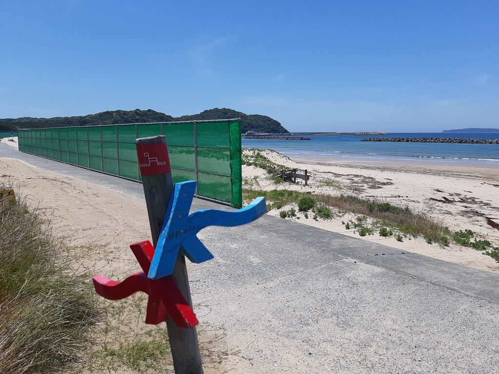
Meaning... this is a hiking trail, not a cycling route.
And yeah, definitely not the kind of path you can shoulder your bike through.
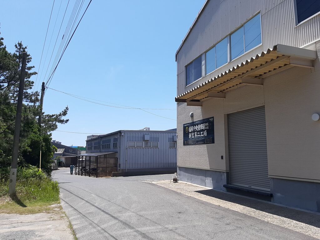
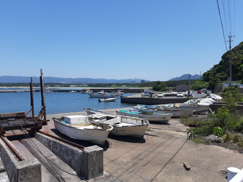
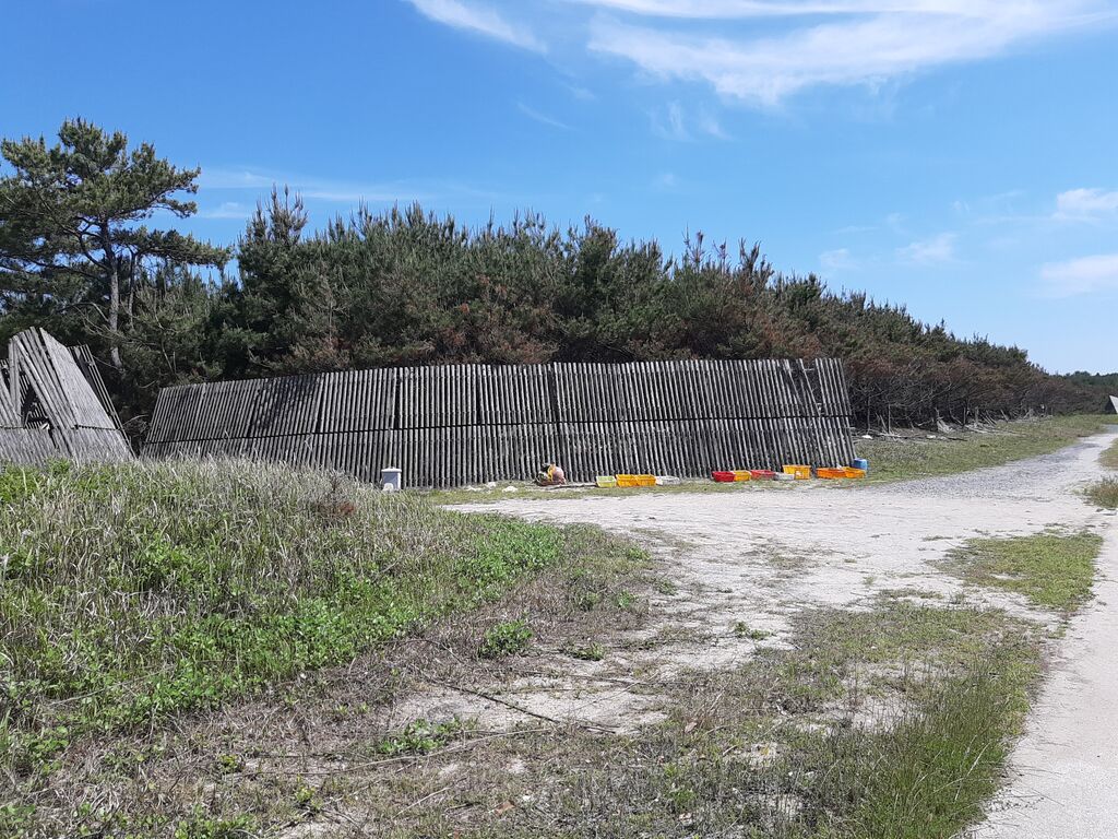
I passed a seafood processing plant.
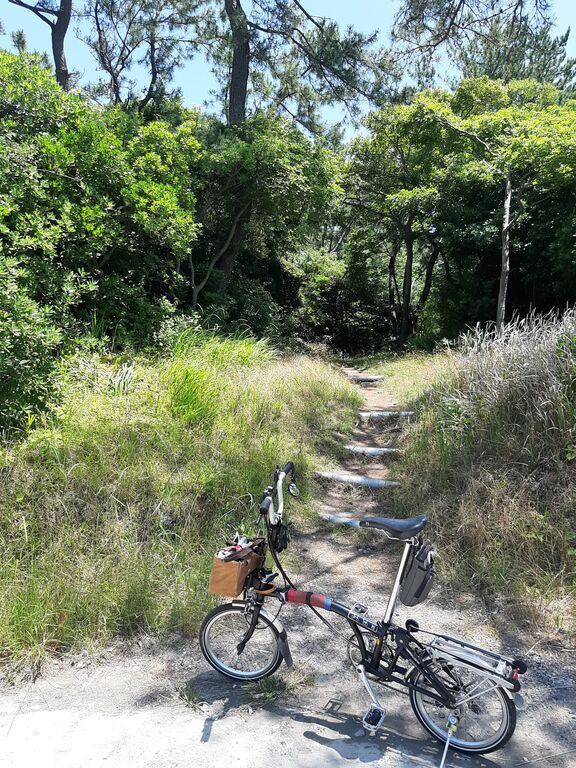
Even deeper in, another Olle sign.
Might be time to give up on cutting through the pine forest.
I spotted an interesting stone up ahead—it piqued my curiosity.

Those who expect birth, sit on the stone and make a prayer ...
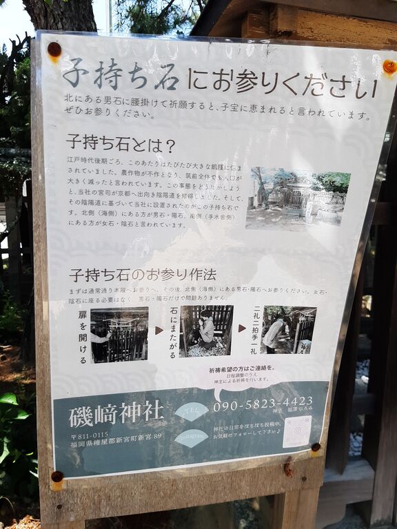
Standing in front of it, I couldn’t help but wonder about the people who pray here, what lives they live, what brought them here... the stories are countless.
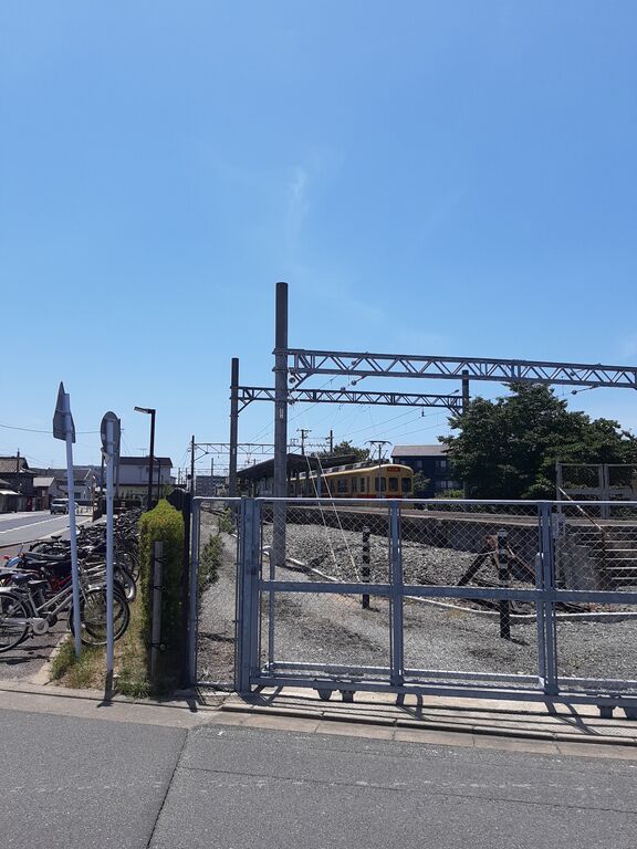
Eventually I reached Nishitetsu Shingū Station.
Heading north from here...
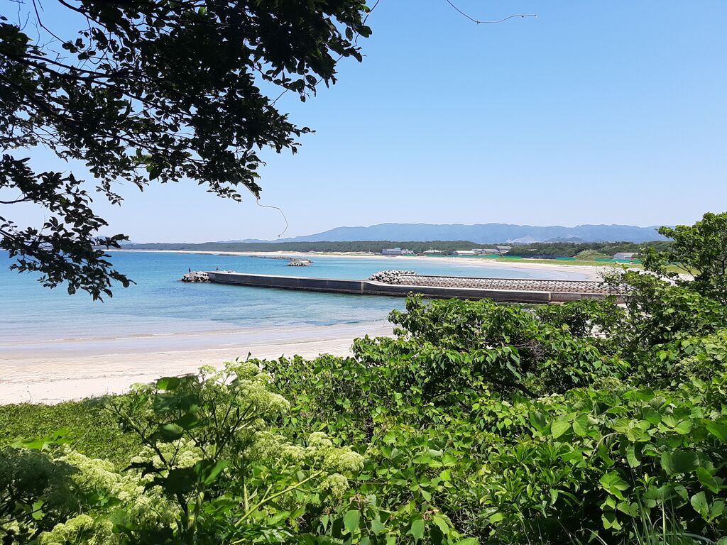
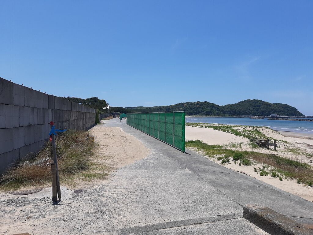
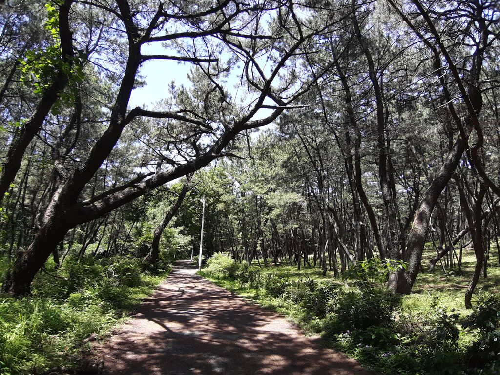
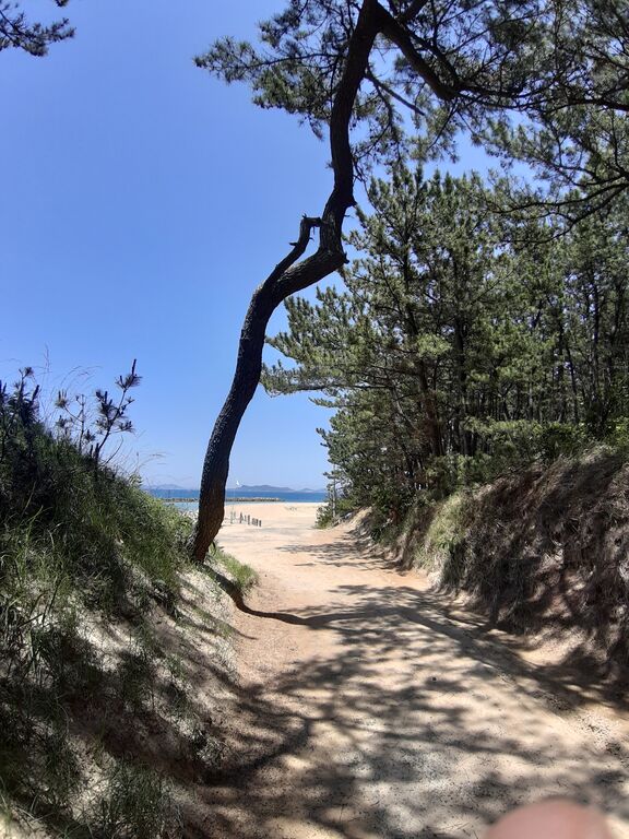
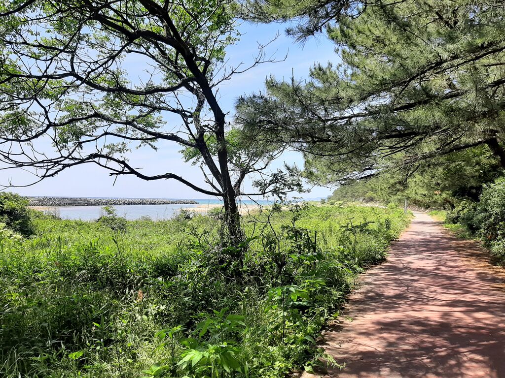
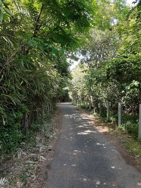
The road to the beach turns into a green tunnel—“take your time and enjoy,” it seems to say.
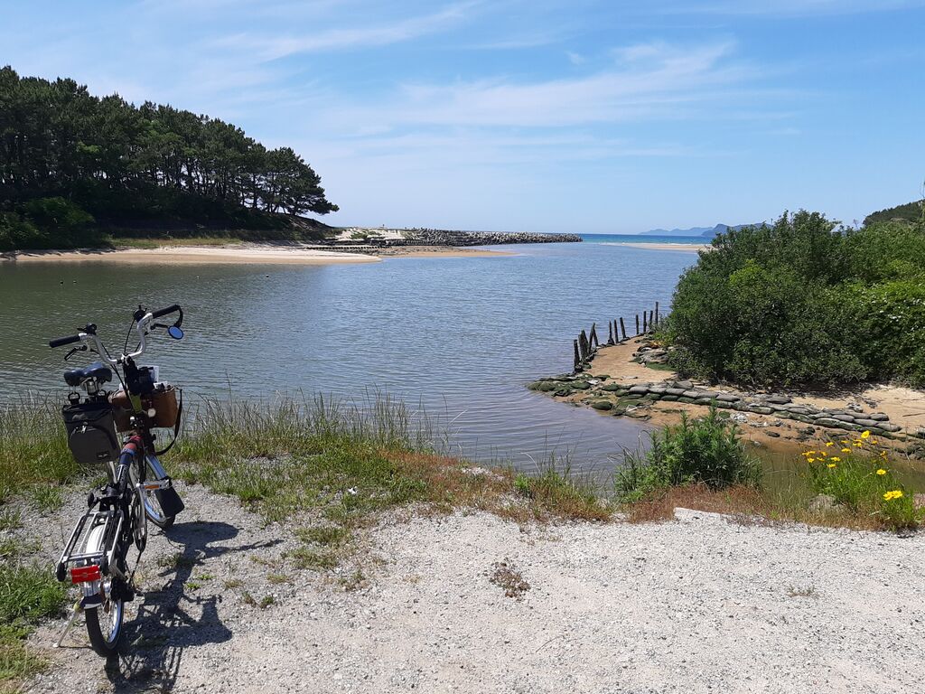
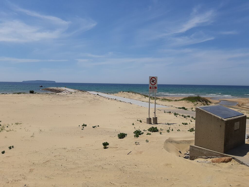
And there it was—Ainoshima island in the distance.
Another Olle marker.
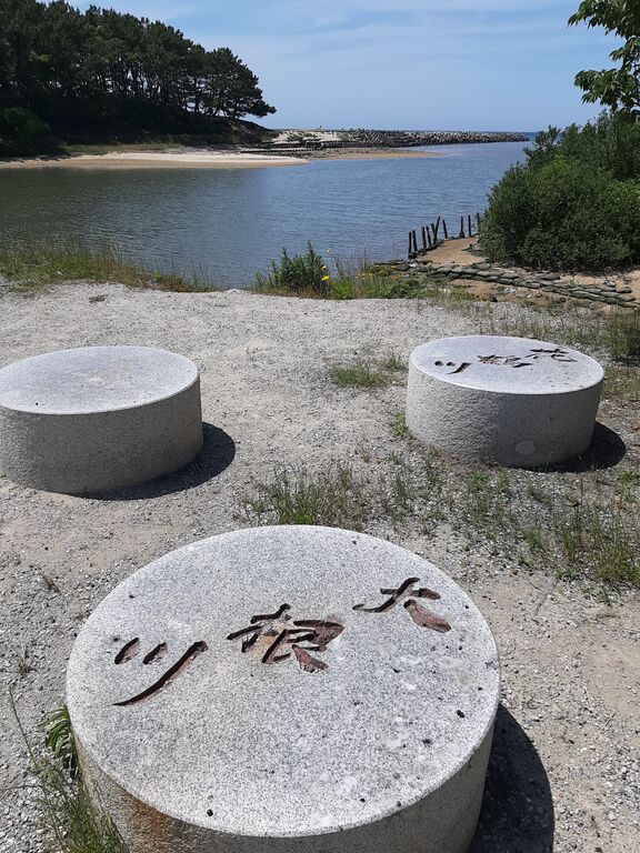
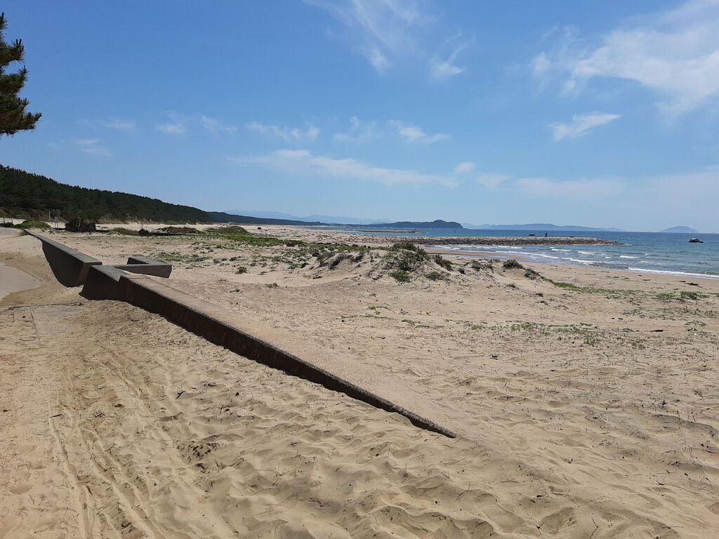
It was a short round-trip, but “Sanri Matsubara” is still here.
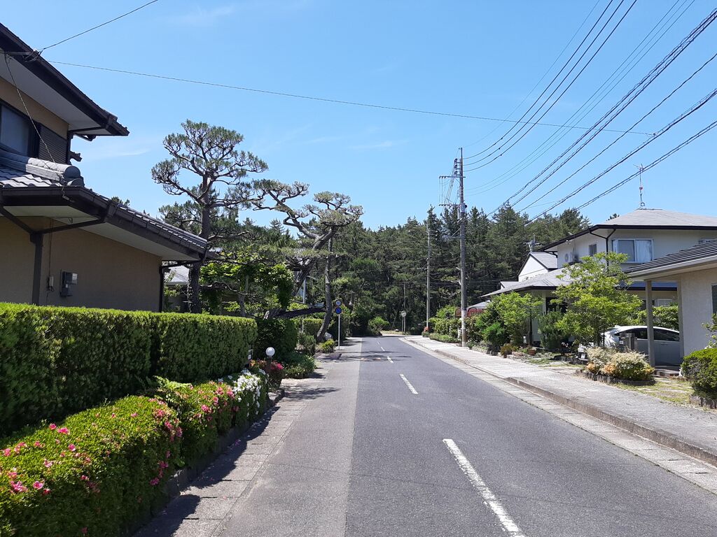
The area’s turned into a high-end residential zone now, but it used to be a vast pine forest.
There are signs calling for restoration of the old white sand and pine landscape.
But now? It’s a bit late for that, honestly...
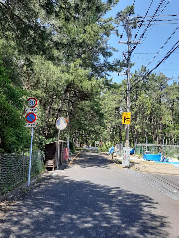
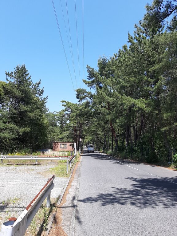
A paved road cuts through the pine woods—thankfully!
I took a side road toward the shore, but eventually hit a golf course.

No way forward.
The neatly planted, well-kept pines seemed oddly out of place, as if they knew they didn’t belong.
Carefully, I navigated what looked like a service road.
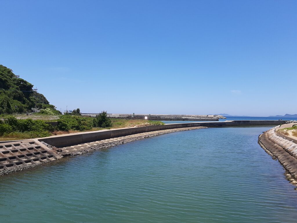
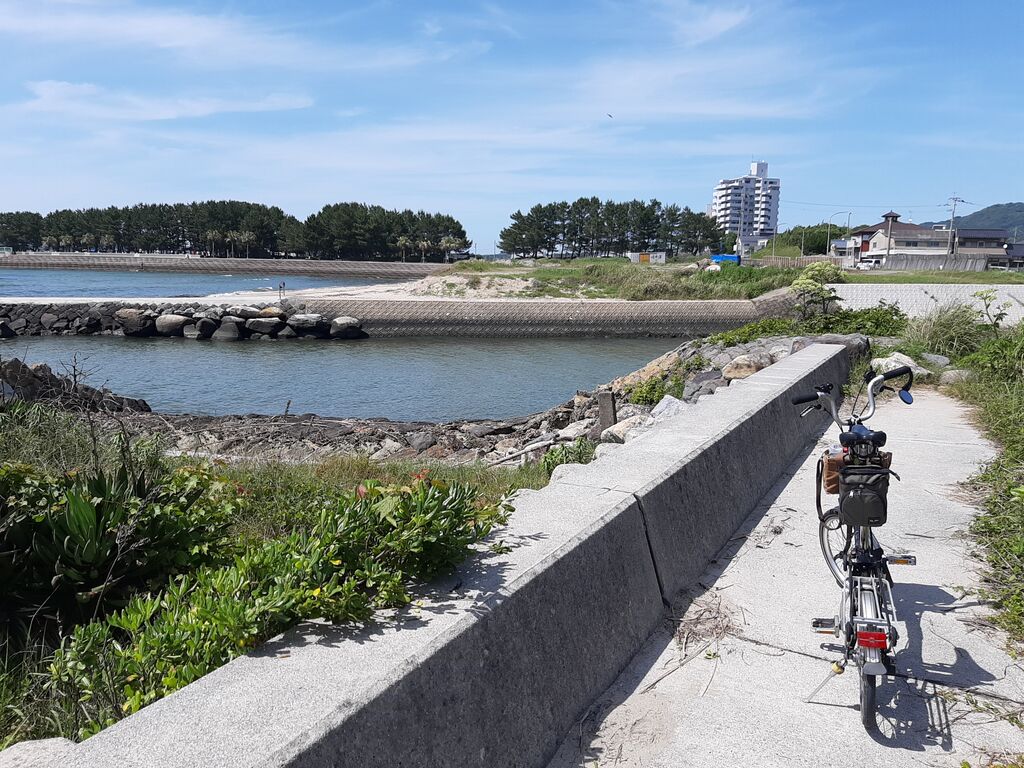
Crossed a river near its mouth and figured I’d try to follow the coast again—but yep, another dead end.
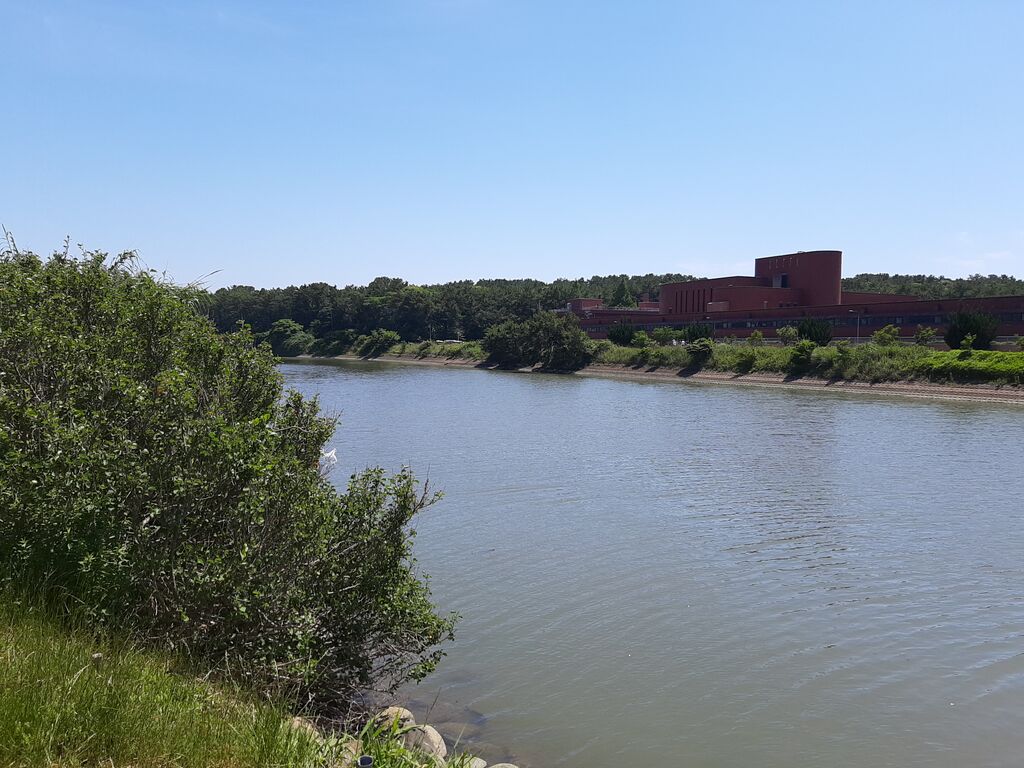
Here, the Hanazuru River and Daikon-gawa merge.
“Daikon-gawa” is a rare name.
Legend says it comes from a story involving the monk Kōbō Daishi.
Thirsty from his travels, he asked a farm girl washing daikon (Japanese white radish) in the river for one.
She told him off and even threw a rock at him!
He muttered “face like a demon” and struck the ground with his staff—drying up the river entirely.
Honestly, the girl was rude, but Daishi’s reaction was... a bit much. I had to laugh.
“Hanazuru” supposedly comes from a time when a flock of cranes danced like flowers in the air.
This area was once known as Hanami Matsubara.
In the days of local lord Ōtomo Sōrin from Ōita, wisteria bloomed in the pine groves and spring feasts were held under their blossoms.

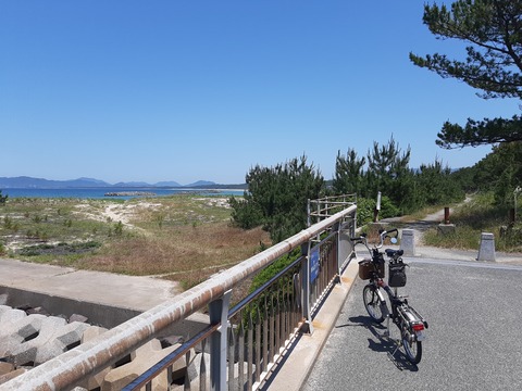
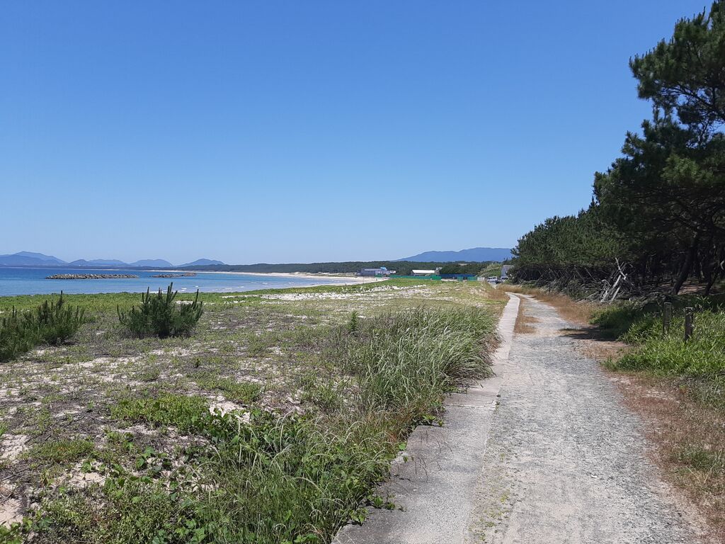
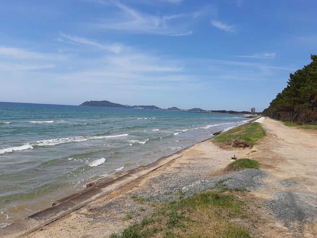
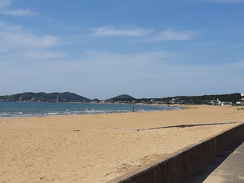
I reached a walking path where the sand was so soft, it made your feet dance.
Cyclists coming the other way were walking their bikes.
At this point, I was already thinking about rinsing off the salt when I got home.

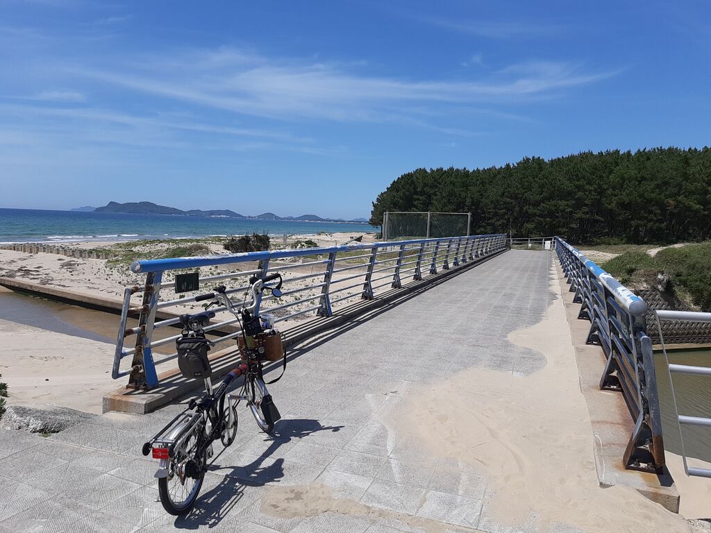
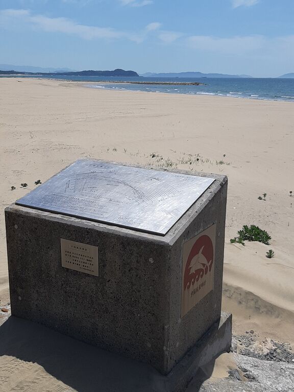
Near the river mouth was a bridge—and something square…
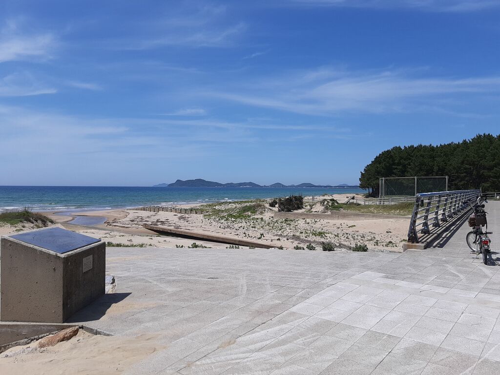
It was the "Sunset Scenery Clock."
I’ve seen something like this before... where was it?
I couldn’t remember, and that’s exactly why I write this blog—to pin down these fleeting thoughts with photos and words.
Can’t expect to recall everything on command anymore.
I told myself that and kept pedaling—until I was toast.
My beloved 13-year-old Brompton is made of good old-fashioned steel.
After a seaside ride, it definitely needs some TLC.
Sea-sanded tires and rims got a careful cleaning...
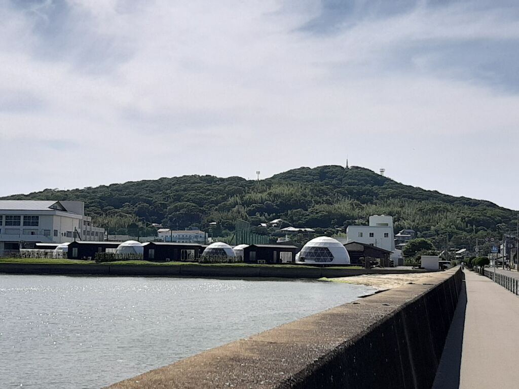
Soon, the familiar Tsuyazaki hills came into view.
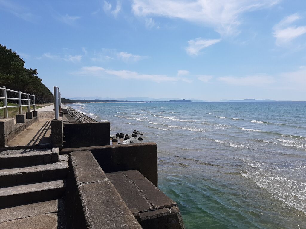
The coastal road is easy to ride, but a bit lacking in charm.
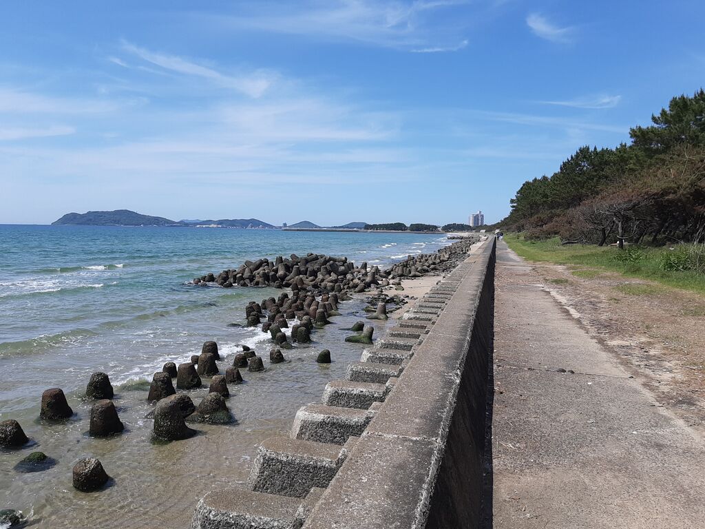
Even the rows of tetrapods took on an odd kind of beauty.
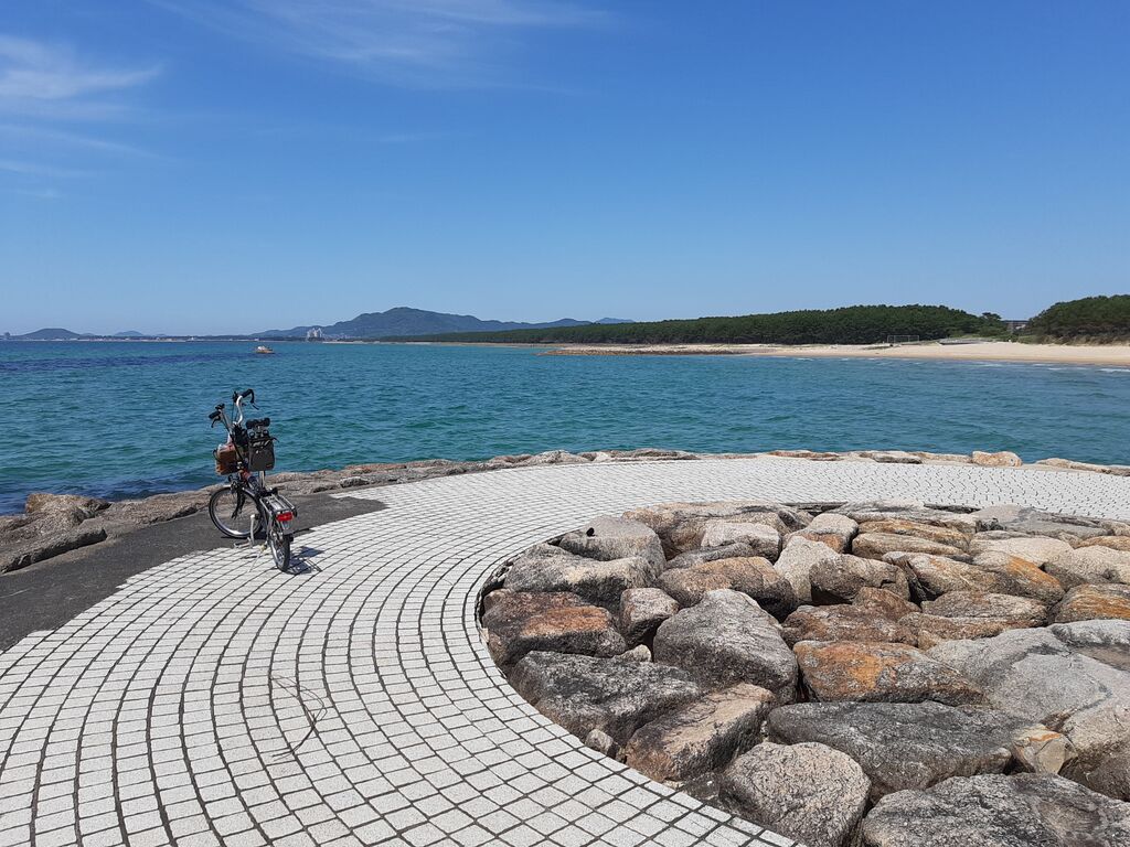
Eventually, the road ended with a view of Miyajihama across the water.
Backtracked to find a way over there.
A sparrow with a worm in its beak seemed to guide me down the right path.
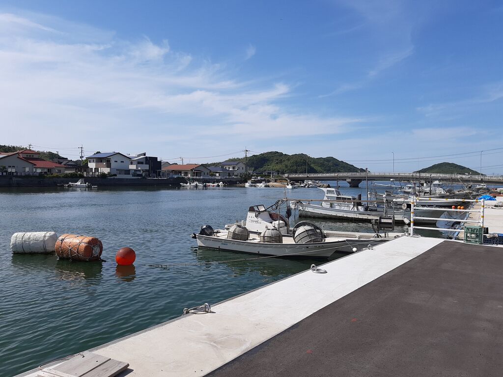
I always pass this little park by car, but I’d never actually stopped to look.
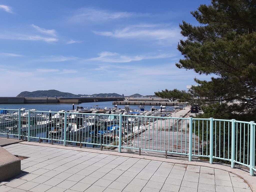
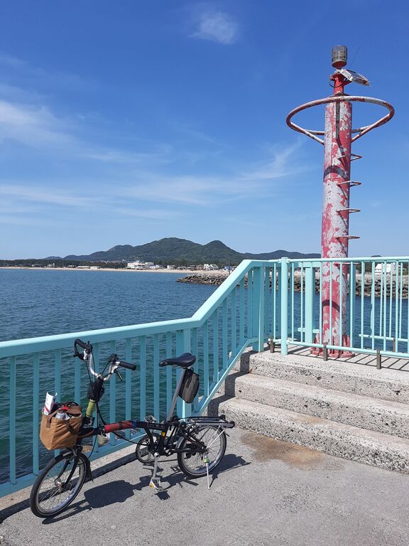
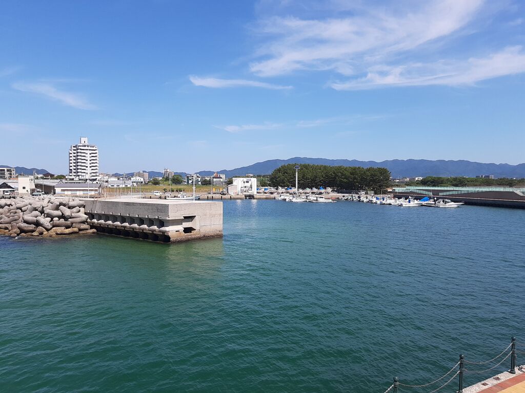
Turns out, it’s a yacht harbor now.
At the end of the pier stood a solar-powered LED lighthouse—maybe?
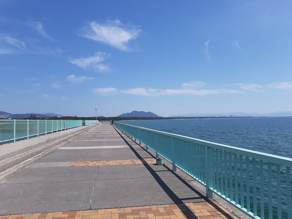
I’d never looked at Miyajihama from this angle before.
Another 2 hours to go!
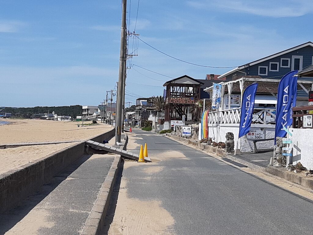
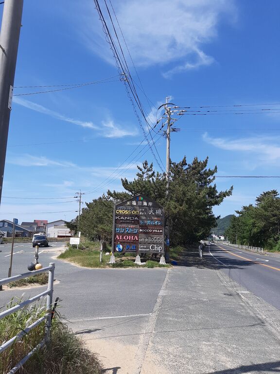
Cafe for youngs.
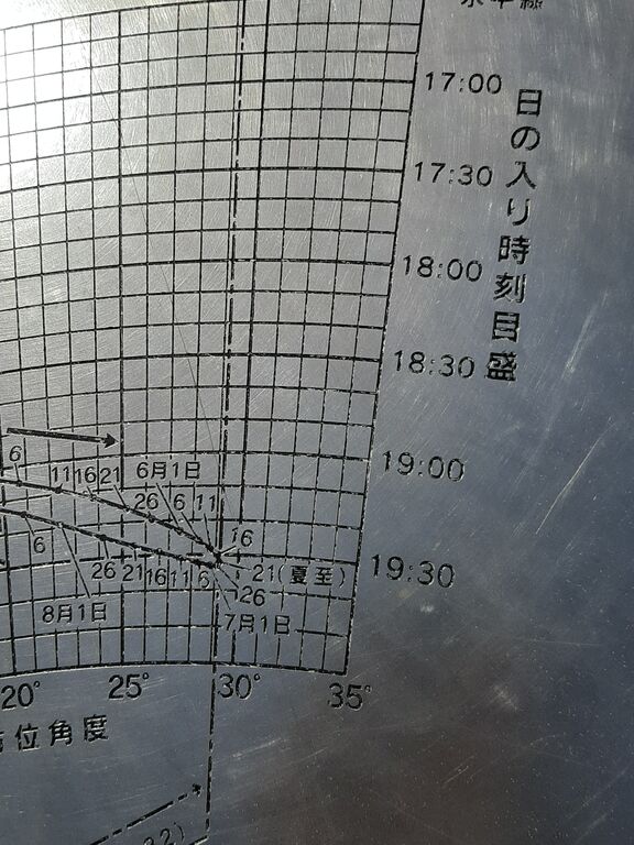
And then it hit me.
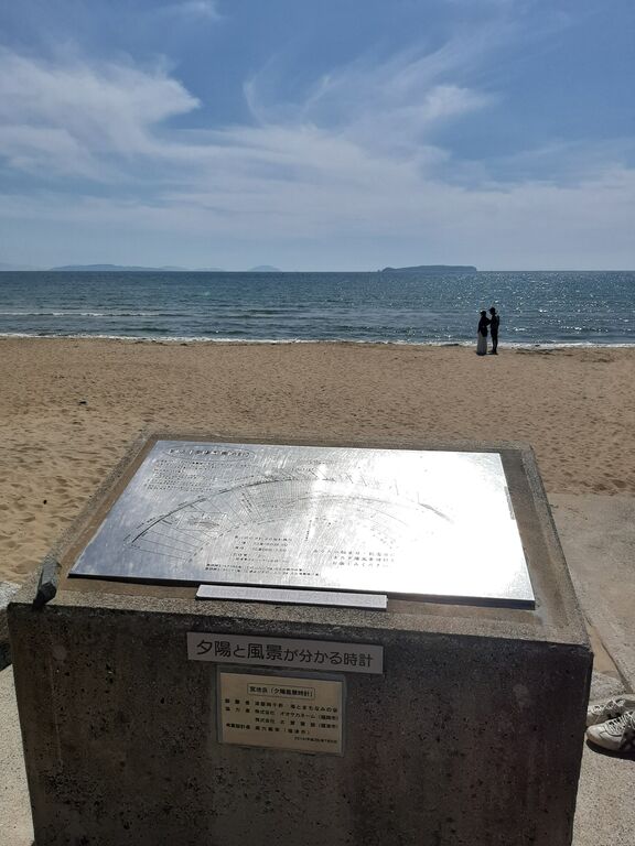
Twice a year, the sunset aligns perfectly with the long stone staircase of Miyajidake Shrine, casting a beam of light straight down the path to the coast.
That golden road is called “The Path of Light.”
And right there, on that beach, is this “Sunset Scenery Clock.”
Finally, it all made sense.
Two different “Sanri Matsubara” and a clock that captures the sunset.
I passed Tsuyazaki fishing port, rolled through Shiohama—once famous for its salt fields—and took a long break at the roadside station in Munakata.

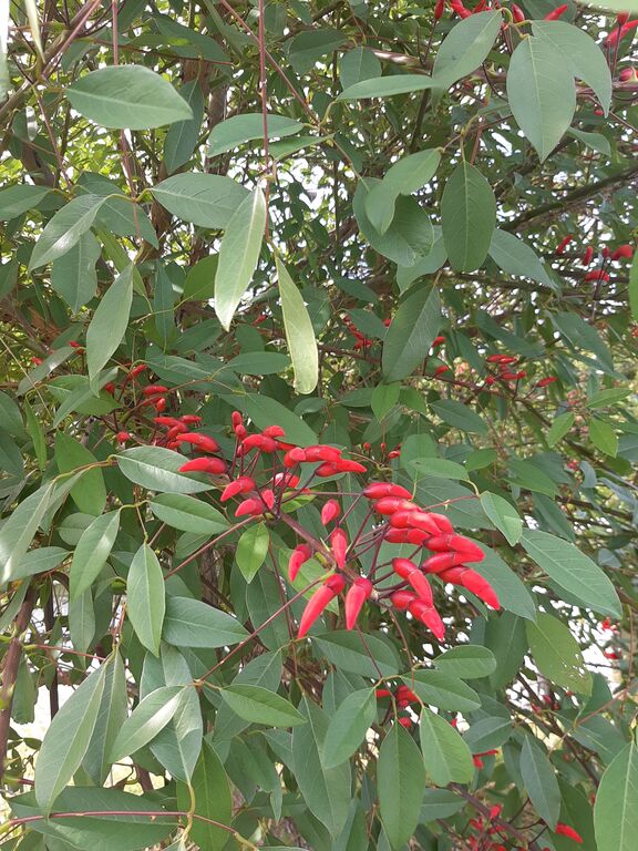
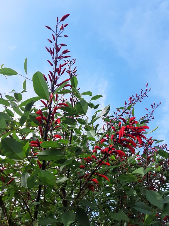
By the time I returned to my usual pottering route, the bright red buds of blooming deigo flowers were glowing in the light.


Comments
Post a Comment